2. The hills of Karbi Anglong and North Cachar and
3. The Barak valley or Surama Valley in the South
1. The Brahmaputra valley in the North

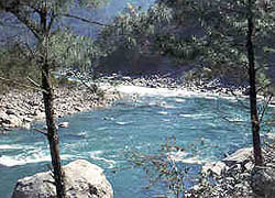
The almond shaped Brabmaputra Valley is the result of depositional works of the river Brahmaputra and its tributaries. It is a flat plain with a length and breadth of 725 km and 80-100 km respectively. The Brahmaputra Valley covers a substantial part of the State and most of the important towns and cities of Assam are situated in this valley.
2. The hills of Karbi Anglong and North Cachar

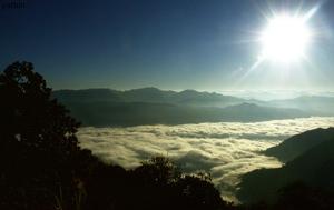
These hills divides the two valleys of Assam. These hills rise abruptly from the surrounding plains and merge with the Barail range of hills, which is the highest in Assam. The height of this region varies from 1000 m to 1200 m above mean sea level. Dense forests and rare wildlife are the common features of this region.
3. The Barak valley or Surama Valley in the South

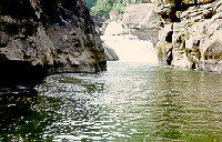
The Barak Valley is named after the river Barak. Like Brahmaputra, the river Barak has also created a fertile valley which is bordered by North Cachar Hills, Manipur and Mizoram. The Barak Valley is a amazing plain interspersed with low hills and lakes.

So nice it’s really helpful to me
It is very good defenation …
iAm very excited to find this note
The above details should nice to include maps and broad description
its so good evey things are given but itisnot matching with our book but it is usefull to all and i think every one should read this .
Its nicely explane with the picture
The provided details of each Physiographic division is not enough.request you to provide more details,updated data and pictures of these topics.
regards
i think there should have more pictures against each and every points.i will be very thankful if you accept my request.
Places and exact spots where photos of the rivers were taken should have been mentioned; details of the pictures, if given, would be an added attraction and more useful.