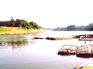
Karimganj District, Assam
Karimganj is a district in Assam. It is located in the Southern tip of Assam and shares boundaries with Cachar district on North-East; Hailakandi district on East; Mizoram state on South; Tripura state on South-West and Bangladesh on North-West. The geographical location of Karimganj district lies between 24°15′ – 25°55′ North latitude and 92°15′ – 92°35′ East longitude. The total area of this district is 1809 square km. The district headquarters are located at Karimganj town.

The Karimganj district has one sub-division – Karimganj. It’s 5 development circles (tehsils) are Karimganj, Nilambazar, Patharkandi, Ramkrishna Nagar and Badarpur. Major towns in the district are: Karimganj, Badarpur, Badarpur Rly Town T.C.
People:
The population of Karimganj district is 1,217,002 (2011 Census data). The population density in the district is 673 persons per square km. About 52.3% of the population are Muslims, while Hindus accounts for 47%. The district has a sex ratio of 961 females for every 1000 males. The literacy rate of Karimganj is 79.72 % Bengali (Sylheti) is the major language spoken in the Southern district of Assam.
Economy:
Majority of the workforce in Karimganj district are engaged in Agriculture. Together with Farming, Livestock, Fishery and Forestry, the Agriculture sector engages a total of 68% of active workforce. Major industries in the area include Barak Valley Cement Ltd at Jhumbasti, Cement International Ltd. at Badarpurghat and Barak Cold Storage at Badarpur.
Connectivity:
Karimganj is connected with other parts of the country via road and railway. The distance to Guwahati, the capital city of Assam is about 330 km by road and about 350 km by rail. Bus services daily ply between Karimganj and Guwahati. Long distance bus services are also available to and from Shillong, Agartala, Aizawl etc. Nearest airport is Kumbhirgram in Silchar, which is about 83 km away from Karimganj town.
